About the neighborhood
District of Copenhagen, Denmark
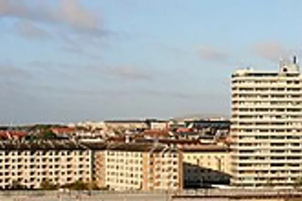
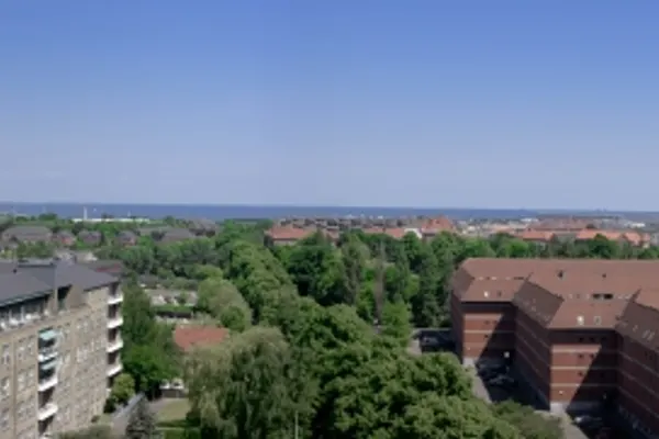
Østerbro (Danish pronunciation: ˈøstɐˌpʁoˀ) is one of the 10 official districts of Copenhagen Municipality, Denmark. It is located just north of the city centre, outside the old city gate Østerport which, after it was moved around 1700, used to be located close to present-day Østerport Station. From the beginning, Østerbro has been a wealthy district, and it remains one of the most affluent areas in Copenhagen.
Geography
Østerbro has an area of 11.84km (4.57sqmi) and a population of 68,769. It is bordered by Nørrebro to the west, Hellerup to the north and Øresund to the east.
Landmarks
Danish Meteorological Institute
Den Frie Udstilling
Gasværket
Frihavn
Fælledparken
Garrison's Cemetery
Parken, the National Stadium
Rigshospitalet
Trianglen (“The Triangle”)
Østerport Station
Kastellet
Nordre Frihavnsgade
The Little Mermaid
In popular culture
In the popular children's novel, Number the Stars, Østerbrogade is a road on which the Annemarie and her friends run down, but are then stopped by a Nazi soldier.
See also
Districts of Copenhagen
References
External links
Media related to Østerbro at Wikimedia Commons
Østerbro travel guide from Wikivoyage
Encyclopedic content adapted from the Wikipedia article on Østerbro, used under CC BY-SA 4.0.